
Description
XGRIDS LixelKity K1
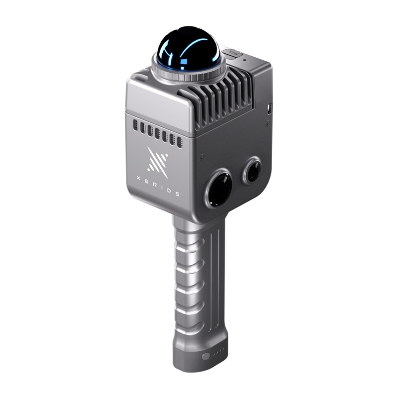
The LixelKity K1 is an extremely compact and lightweight portable scanner that revolutionizes the 3D model creation process. Designed with both professionals and 3D enthusiasts in mind, the LixelKity K1 offers extremely intuitive operation and convenient scanning. It generates precise, colorful models with centimeter accuracy in real time, offering ease of use from the moment you use it.

Advanced technology in a compact form factor
At the heart of the device is the advanced integration of a panoramic camera and precision LiDAR, capable of scanning the environment 360 degrees horizontally. The 36-megapixel imaging produces detailed and lifelike color point clouds directly on the device. All this is enclosed in a sturdy aluminum alloy housing, weighing just 1 kg, and the battery provides 90 minutes of continuous operation, offering exceptional mobility and comfort.

Versatile applications and intuitive operation
Thanks to its 360°x360° panoramic field of view, the LixelKity K1 captures every detail, making it the ideal tool for a variety of applications: from creating digital twins and scan-to-BIM models to use in film production, video games, or heritage tourism documentation. Its extreme ease of use and easy accessibility make professional data collection and 3D modeling easier than ever: scan however you like.

Included
- Lixelkity K1 portable scanner
- Lixel Studio Perpetual License (3 Devices)
- Lixelkity K1 Rechargeable Battery
- Battery charger
- Type-C cable
- Manual
- Warranty card
- cleaning cloth
- Case
General
| Power input | 14.4 V |
|---|---|
| Weight | 1 kg |
| Memory | 256GB TF card |
| energy consumption | <20W |
| Data interface | USB 3.1 Gen2 |
| Operating temperature | -20~50°C |
| Degree of protection | IP54 |
| Building materials | Aluminum navigation |
| Power supply | Quick-release battery |
| Autonomy (with one battery) | 1.5 hours |
| Battery capacity | 28.8 Wh |
| Number of cameras | 4 |
| Scope of Wi-Fi application | 20 meters |
| Possibility to install the RTK module | YES |
| Video-assisted positioning | YES |
LiDAR
| Relative accuracy | 1.2 cm |
|---|---|
| Repeatable precision | 2 cm |
| Absolute precision | 3 cm |
| Horizontal accuracy | 0,015° |
| Laser class | Class 1/905 nm |
| Work camp | 0.1m~40m to 10%, 70m~80% |
| Scan Mode | Mobile |
| LiDAR field of view | 360°*-7~+52° |
| Scanning speed | 200,000 points/second |
Viewing module
| Camera field of view | HDV 360°*360° color panorama |
|---|---|
| Camera resolution | 48 MP X2 |
| Resolution of panoramic photos | Maximum 56 MP |
Data and memory
| Calculation method | Real-time/mixed computing |
|---|---|
| Point cloud format | .forest |
| Color point cloud | YES |
| Data processing software | Lixel Studio |


Reviews
There are no reviews yet.